
When the River Says No: What Actually Happens on a High-Water Day
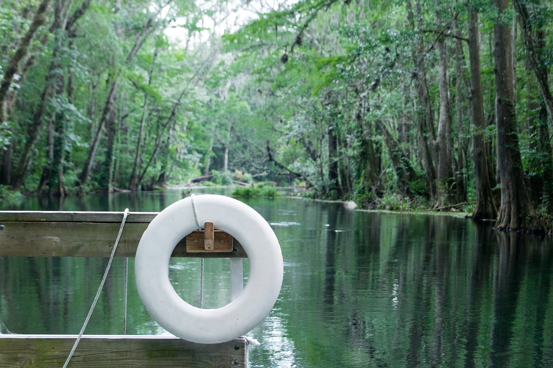
A client books a trip, checks the weather obsessively for two weeks, and then a heavy rain three days out leaves them wondering whether the trip is still happening. It's one of the most common points of anxiety in the entire booking process, and it's also one of the least explained -- most outfitter sites say nothing at all about what high water actually means for a scheduled trip.
The reality is straightforward, even if the exact numbers behind it are specific to each stretch of water: guides monitor real, public streamflow data, they make a judgment call based on safety and fishability, and the typical outcome is a reschedule or a shift to alternate water -- not an automatic cancellation and not "fishing it anyway" regardless of conditions.
This piece is about writing that explanation clearly, grounded in the real, public tools guides actually use, without inventing a specific water-level cutoff that belongs to a particular gauge and a particular operator's own judgment, not to a general explainer page.
How Guides Actually Watch Water Levels
The U.S. Geological Survey operates a nationwide network of continuous streamflow monitoring stations -- thousands of them across the country -- with data available through public tools like the USGS National Water Dashboard. Sensors often record on a 15-minute interval, though not every site does, and transmission can lag. USGS lists determining whether streams are safe for recreational activity among uses of the network, but the agency also cautions that provisional data can be wrong and should not be the sole source for personal-safety decisions. Guides still use it as one public input, not as an autopilot.
A guide watching a stretch of water they fish regularly knows that specific gauge's normal range and knows what level starts to change fishability or safety on that particular water. That knowledge is real and valuable -- but it belongs to that operator, for that stretch of water, not to a general explainer page trying to state a universal number. A useful public feature worth mentioning generically: services like USGS WaterAlert let a person set their own threshold on a chosen gauge and get notified by email or text when it's crossed, which is a genuinely useful tool for a curious client to know exists, without an operator needing to publish their own specific trigger number.
Rain-Fed Rivers Versus Dam-Controlled Water
High water means something different depending on the type of fishery. A freestone or rain-fed stream responds directly to rainfall -- a heavy storm upstream can push a fast, muddy pulse of water through in hours, and that pulse recedes on its own timeline as the watershed drains. A dam-controlled tailwater responds to generation schedules instead -- releases from the dam, which can be increased for power production or flood management, create a different kind of high-water event that follows the dam operator's schedule rather than the sky.
This distinction matters on the page because the two situations look and behave differently, and a reader benefits from understanding which kind of high water they might encounter on which kind of water, without the page needing to name a specific dam or a specific river to make the point at the category level.
What a Reasonable Operator Actually Does
A responsible guide service reserves the right to call a trip for safety or quality reasons and treats that as part of the service, not a failure of it -- one well-documented example among many operators states plainly that trips run rain or shine and that the guide service itself decides whether conditions are safe to fish, reserving the right to cancel when they're not. That's a defensible, honest policy, and it's worth an operator stating their own version of it clearly rather than leaving clients to wonder how the call gets made.
The typical resolution when high water forces a change is a reschedule to another date or a shift to an alternate stretch of water that's fishing better that day -- not simply canceling the trip outright and not pretending the conditions are fine when they aren't. What the specific policy looks like (refund, credit, reschedule window) is something each operator needs to state on their own booking-terms page, since it varies by operator and shouldn't be assumed uniform across the industry.
What Not to Claim on a General Explainer Page
Don't publish a specific cubic-feet-per-second number as a universal high-water cutoff -- that threshold is different for every stretch of water and every operator's own judgment about what's fishable and safe on their particular program, and stating one as though it's a general rule will be wrong for most of the water a reader might actually be asking about. Don't name a specific gauge or a specific river in a general explainer, since that ties a broad educational page to one narrow piece of water it isn't really about.
Don't claim that a rain pulse and a generation pulse behave identically -- they don't, and conflating them gives a reader a false mental model of what's actually happening on the water they're asking about.
Building the Page
A working structure: open with the direct, reassuring answer -- yes, high water can affect a trip, here's generally what happens; explain that guides monitor real, public streamflow data (naming USGS as the network, not a specific gauge); distinguish rain-fed rivers from dam-controlled tailwaters at the category level; describe the typical outcome (reschedule or alternate water) as a general pattern; and close with a direct pointer to the operator's own specific cancellation and rescheduling policy, since that's where the real, actionable specifics belong.
This gives a nervous client a genuinely useful mental model of how the decision gets made, points them toward the real public tools that back it up, and avoids the trap of inventing a number that isn't the writer's to claim.
Related Reading
More for operators building the same kind of page -- clays courses and dove outfits that need a specific answer, not another brochure paragraph.
The Calendar Problem: How Early You Actually Need to Book a Guide
There's No Single Best Season -- Just the Right One for the Water You Want
Forget the Hatch Chart: Why Timing a Trip Around One Bug Is a Myth
Low, Clear, and Still Fishable: What Drought Really Does to a Trip
The Last-Minute Booking: What's Actually Left on a Guide's Calendar This Week
Weekday Versus Weekend: Which Dates Disappear First on a Guide's Calendar
Planning a Multi-Day Trip? Start Your Calendar Math Earlier Than You Think
When the Wind Decides: How a Guide Calls a Trip on a Marginal Day
The Bigger the Group, the Earlier the Ask: Booking a Fly Fishing Trip for a Crowd
When the Water Closes: How Spawning Season Can Reshape Your Trip Dates
Who Owns the Fly Box? What's Included in Your Guide's Rate -- and What Isn't
Frequently Asked Questions
What happens if the water is too high on the day of my guided fly fishing trip?
The guide typically makes a safety and fishability call based on real, current conditions, and the usual outcome is a reschedule to another date or a shift to an alternate stretch of water that's fishing better -- not an automatic cancellation and not fishing regardless of conditions. Specific policy details vary by operator.
How do guides actually know what the water level is doing?
Most rely on public streamflow data from the U.S. Geological Survey's monitoring network, which reports near-real-time conditions at thousands of stations nationwide, viewable through tools like the USGS National Water Dashboard. Recreational safety is an explicitly listed use of this data.
Is there a universal water-level number that means a trip gets canceled?
No -- the threshold that matters is specific to each stretch of water and each operator's own experience with it. A general explainer page can't and shouldn't publish one number as a universal cutoff, since it would be wrong for most water it's applied to.
What's the difference between high water from rain and high water from a dam release?
Rain-fed, freestone streams rise and fall with actual rainfall in their watershed, often quickly. Dam-controlled tailwaters rise and fall based on generation schedules set by the dam operator, which follow a different pattern entirely and aren't tied directly to local weather.
Will a guide just fish through high water rather than cancel?
A responsible operator makes that call based on safety and quality, not simply pushing through regardless of conditions. Many state plainly that they run rain or shine but reserve the right to call a trip when the guide service determines it isn't safe or worthwhile to fish.
Can I track a river's water level myself before my trip?
Yes -- public tools like the USGS National Water Dashboard show near-real-time streamflow data, and a feature called WaterAlert lets you set your own threshold on a chosen monitoring station and get notified by email or text when it's crossed.
If my trip gets rescheduled for high water, do I get a refund?
That depends entirely on the specific operator's own cancellation and rescheduling policy, which should be stated clearly on their booking page -- there's no single industry-wide rule for how a weather-related reschedule is handled.
Does high water ruin the fishing entirely, or just change it?
It depends on how high and on the type of water -- moderate rises can sometimes still be fishable with adjusted tactics, while significant flooding genuinely changes both safety and fishability. The guide's real-time judgment on the specific water is what determines the actual call, not a fixed rule.
Work with Pine & Marsh
A client who's never gotten a straight answer about what happens on a high-water day is left to assume the worst -- and a page that finally explains the real process, honestly, closes that gap.
Explaining a real operational process -- how a weather call actually gets made -- without inventing numbers that aren't yours to claim is exactly the editorial discipline 44 Recreation Agency's Content & Editorial Program brings to outfitter sites. If your booking pages leave clients guessing about weather policy, a discovery call is the place to start: pineandmarsh.com/contact. What you've built deserves to be found.


Comments