
The River Rewrites the Product Every Morning
Updated: Sep 8
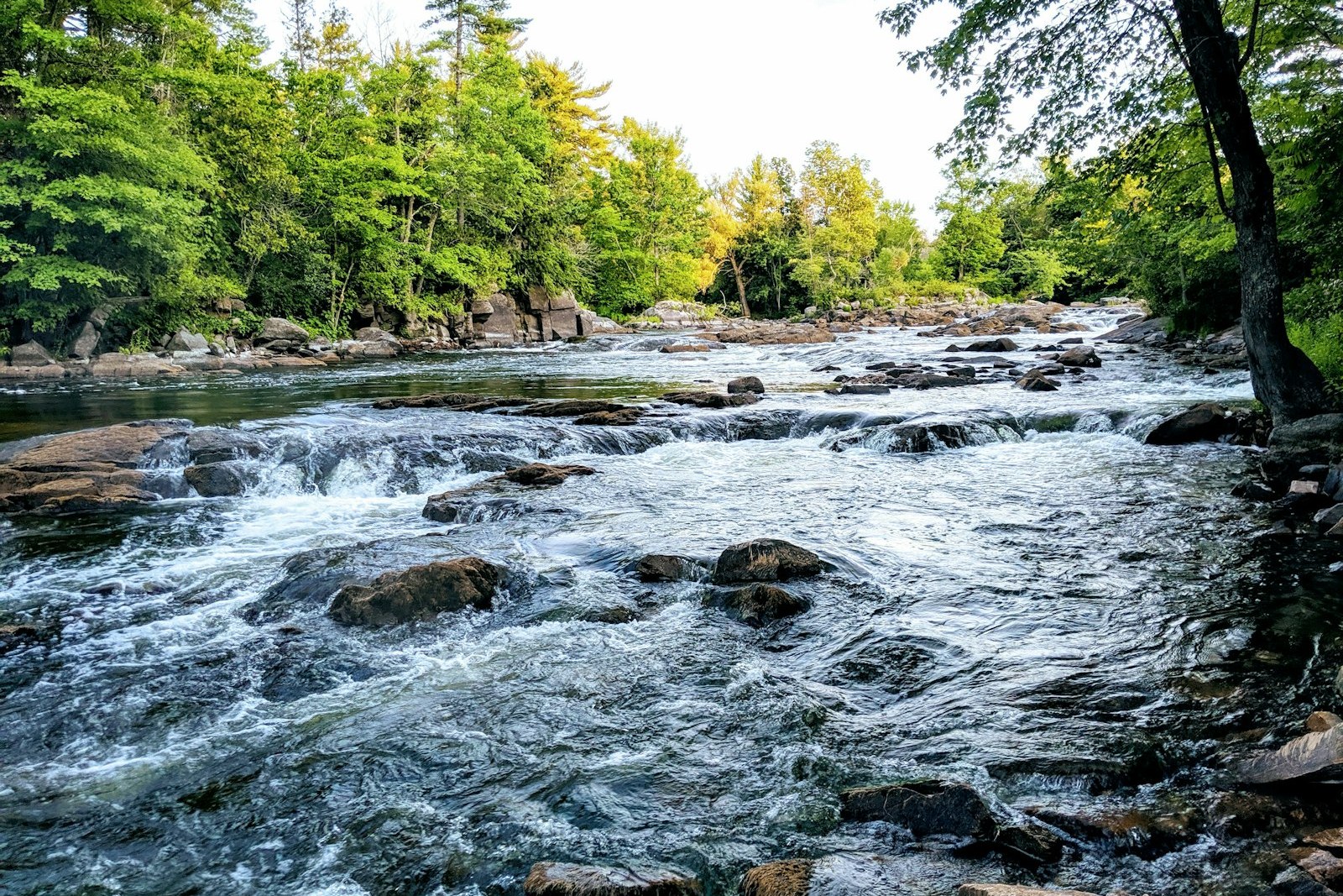
Most businesses sell a product that doesn't change overnight. A float outfitter sells one that does. The same stretch of river that was a lazy, easy afternoon float last week can be pushy and technical this week after a hard rain upstream, or too low to float comfortably after a dry stretch. "Is this river floatable right now" isn't a one-time factual question the way a business's hours or address are -- it's a live question with an answer that shifts, sometimes day to day.
That volatility is exactly the kind of thing answer engines currently handle badly. Asked directly, an AI system resolving "is [river] floatable today" has two poor options if an operator hasn't built anything better: cite a raw USGS gauge reading with no interpretation attached, which tells a non-expert almost nothing useful about whether today is a good day to paddle, or pull from an outdated forum post or blog comment from a prior season that may no longer reflect current conditions at all.
The USGS itself operates a genuinely enormous, largely real-time streamgage network -- 12,165 continuous streamgages nationwide as of 2024, with much of that data flowing into the National Water Dashboard near-real-time. That's a real, authoritative, and freely available data source. What it structurally can't do is tell a first-time paddler what a given reading actually means for their specific stretch of river on their specific outfitter's trips. That interpretive gap -- between raw gauge numbers and "is today a good day to float" -- is exactly where an operator's own content can become the cited, trusted layer that raw data alone never will be.
The Real Data Source, and What It Doesn't Do
The USGS's National Water Dashboard, at dashboard.waterdata.usgs.gov, and the underlying waterdata.usgs.gov system are the actual public source of streamflow data most river-condition questions ultimately trace back to, with an API available at api.waterdata.usgs.gov for anyone building automated tools on top of it. This is real, current, frequently-updated infrastructure, and there's no reason for an operator to compete with it as a raw-data source or try to reproduce it.
What the raw dashboard doesn't provide is interpretation specific to a given stretch of river and a given kind of trip. A gauge reading in cubic feet per second means something different on a wide, slow stretch than on a narrow, technical one, and it means something different to a family in a rented tube than to an experienced kayaker. The USGS system has no way to know an individual outfitter's specific go/no-go thresholds for their specific trips -- and it shouldn't try to, since that judgment genuinely belongs to the operator who knows the water.
This is worth stating plainly on any page an operator builds about water levels: the raw data comes from USGS, credited and linked directly, and the interpretation of what that data means for this specific outfitter's specific trips is the operator's own judgment, built from experience running the water -- not a USGS finding, and not something USGS itself asserts.
The Two Pages an Operator Actually Needs
The first is evergreen: a "how we read water levels on this river" educational page that explains, in the operator's own words and drawing on real operating experience, how a given gauge's readings translate into floatability for the trips this business actually runs. This page doesn't need to change week to week -- it's teaching a framework, not reporting today's number -- which makes it the more durable, more citable of the two pieces, and the one worth building first.
The second is a lightly-maintained conditions page or section, updated regularly during the season, stating the current reading at the operator's chosen gauge alongside a plain-language interpretation using the framework the evergreen page already established: floatable, marginal, or not recommended today, for example, phrased however fits the operator's actual voice and actual thresholds. This page requires real, ongoing maintenance to stay useful -- a conditions page last updated three weeks ago is arguably worse than no conditions page at all, since it implies currency it doesn't have.
Together, these two pages do the job raw USGS data alone can't: the evergreen page earns trust and citability by explaining the framework clearly and durably, and the conditions page applies that framework to right now, giving both a human reader and a resolving AI system exactly what they're looking for -- the number, and what it actually means for this stretch of river today.
Naming the Gauge, Not Inventing the Threshold
A credible water-level page names its actual gauge -- the specific USGS station this operator actually watches for this specific stretch of river -- rather than referring vaguely to "the gauge" or "the river level." That specificity is itself a trust signal: it tells a reader (and a resolving system) exactly which real, verifiable, linkable data source this operator's judgment is built on, rather than an unattributable, unverifiable claim.
What this post deliberately does not do is publish a specific cubic-feet-per-second or water-height threshold as a universal "floatable" number for any particular river, because that threshold is genuinely operator- and river-specific, changes with the exact stretch being floated, and is exactly the kind of number that needs to come from the operator's own real experience running that water -- not from a generic guide. Any operator building this content should identify their actual gauge ID and their own real, tested go/no-go thresholds directly, ideally in consultation with whoever on staff has run the water longest.
This same discipline applies to hydrography references elsewhere on a site. The National Hydrographic Dataset, long a standard reference layer, was retired as of October 2023 in favor of the newer 3D Hydrography Program (3DHP) -- so any content describing how to pull current river-mapping data should point to 3DHP resources rather than instructing a reader to treat NHD as the current standard.
Why This Is a Zero-Click Battle Worth Fighting Anyway
"Is this river floatable today" is about as pure a zero-click query as this entire industry produces -- someone wants a yes-or-no-ish answer fast, often from a phone, often the morning of a trip they're already planning to take somewhere. An AI Overview or voice assistant resolving that query directly, without a click-through, is likely to become more common, not less, over time.
That makes this one of the highest-value queries in the entire float-outfitting category to be the cited source for, even though a citation here often won't produce a direct visit. Being the trusted, specific, current answer to "is it floatable today" builds exactly the kind of brand association -- this operator actually knows this river -- that pays off in bookings later, even when the immediate interaction never touches the website at all.
It's also one of the clearest examples in this whole cluster of what happens when an operator does nothing: the query doesn't go unanswered, it just gets answered by something else -- a bare USGS number with no context, or a rafting forum post from two seasons ago. Building the interpretive layer doesn't create demand for this information; it simply decides who gets credited for supplying it.
Keeping the Conditions Page Honest as It Ages
A conditions page needs a visible timestamp -- when it was last updated -- displayed prominently, not buried in metadata, so a reader can immediately judge how current the information actually is. A page with no visible update date implicitly claims to be current regardless of when it was actually last touched, which is a credibility risk the moment a reader notices the gap.
During the off-season, or on a day the page genuinely hasn't been checked, the honest move is to say so plainly -- "not updated since [date]; check the USGS dashboard directly for current readings" -- rather than leaving a stale reading up with no caveat. That single honest sentence protects both the customer, who might otherwise plan a day around outdated information, and the operator's own credibility as a source worth returning to.
None of this requires elaborate automation, though an operator with the resources to build a live feed pulling directly from the USGS API can make the conditions page effectively self-updating. For most operators, a simple habit -- checking the gauge and updating the page every morning during the season, or every few days in shoulder periods -- is enough to keep the page meaningfully more current than anything a directory or forum thread is likely to offer.
Related Reading
More for operators building the same kind of page -- clays courses and dove outfits that need a specific answer, not another brochure paragraph.
One Livery, Five Landings: The Entity Google Can't Quite Place
What Answer Engines See in the Off-Season: The Shoulder-Month Gap
Scout Troops Aren't a Booking Problem -- They're a Citation Problem
The Shuttle Fleet Is Marketing Infrastructure, Not Just Logistics
Insurance Talk Without the Legal Risk: A Trust Page That Holds Up
What the Airboat Is Actually For: Marsh Access, Not Nature Tourism
Rental Livery or Guided Outfitter? Why AI Keeps Confusing the Two
One Business, Five Landings: Making Google Business Profile Tell the Truth
Frequently Asked Questions
Where does the actual water-level data come from?
The USGS's National Water Dashboard and underlying waterdata.usgs.gov system, which operates thousands of continuous streamgages nationwide with much of the data updated near-real-time. That's the real, authoritative, freely available source any operator's conditions content should credit and link to directly.
Should we try to build our own water-monitoring system instead of relying on USGS?
No -- USGS's network is extensive and reliable; there's no reason to duplicate it. The opportunity for an operator isn't building new raw data, it's building the interpretive layer that explains what an existing USGS reading actually means for this specific stretch of river and this specific business's trips.
What's the difference between the two pages you're recommending?
One is an evergreen educational page explaining, in general terms, how this operator reads water levels for this river -- built once, updated rarely. The other is a lightly-maintained conditions page stating today's actual reading and interpretation, which needs real, regular upkeep to stay useful and honest.
Can you tell us what CFS level is 'floatable' on our river?
No -- that threshold is specific to your exact stretch of river, your exact trips, and real operating experience running that water, and it isn't something a general piece of content can responsibly assert for you. Identify your actual gauge and set your own thresholds based on tested, real experience, ideally documented by whoever on staff has run the water longest.
How do we find our river's actual gauge?
Through the USGS National Water Dashboard at dashboard.waterdata.usgs.gov or the broader waterdata.usgs.gov system, which lets you search by location to find the specific streamgage nearest your stretch of river. Once identified, that gauge's station ID is what your conditions content should reference directly and consistently.
Is it fine to reference the NHD (National Hydrography Dataset) for river mapping on our site?
Not as a current, actively maintained source -- NHD was retired as of October 2023 in favor of the newer 3D Hydrography Program (3DHP). Any river-mapping references built or updated now should point to 3DHP resources instead.
How often does a conditions page actually need updating?
During the active season, daily or close to it is ideal, since floatability can change quickly after a rain event. In shoulder periods or the off-season, updating less frequently is reasonable, provided the page displays a visible, honest timestamp so a reader knows exactly how current the information is.
What if the page hasn't been updated and someone asks about today's conditions?
State that plainly on the page -- 'not updated since [date]; check the USGS dashboard directly' -- rather than leaving a stale reading up with no caveat. An honest, dated gap in the content protects your credibility better than an unflagged stale number does.
Does this content actually need to drive site visits to be worth building?
Not primarily. 'Is this river floatable today' is a classic zero-click query, and an operator often gets credited as the trusted source without ever producing a direct visit. The value is in becoming the recognized, specific authority on this river's conditions over time, which pays off in bookings even when this particular interaction doesn't.
Work with Pine & Marsh
USGS will always have the raw number. The only question is whether your customers -- and the AI systems answering for them -- get the interpretation from you, or from a three-season-old forum post.
Turning a volatile, week-to-week product into citable topical authority is core to 44 Recreation Agency's SEO & Topical Authority service. Book a discovery call at pineandmarsh.com/contact. What you've built deserves to be found.


Comments